As part of that I went out on Sunday, February 23 to photograph the grain elevators on CN's Letellier subdivision. You might recall that this sub runs from Winnipeg (Portage Junction) south to Emerson on the Canada-USA border. CN interchanges with BNSF just across the border at Noyes, Minnesota.
There are 6 elevators remaining on the Letellier subdivision:
- Morris: Cargill (old and new) and Paterson (old and new)
- St. Jean Baptiste: Private
- Letellier: Pioneer
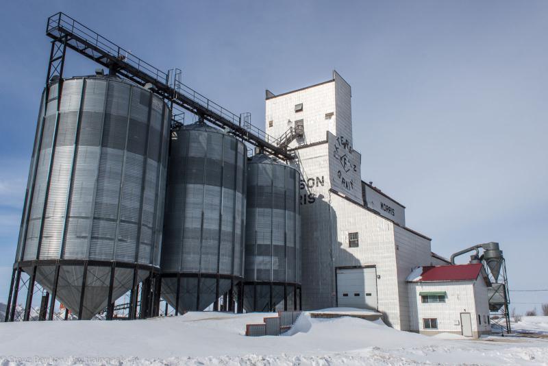
To be totally accurate, I had photographed that elevator a week prior when we went down to North Dakota. At that time I did a quick dash in to capture it and then kept on heading south.
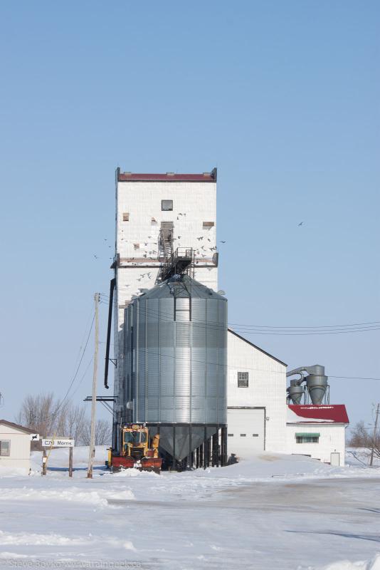
The new Paterson elevator is at the south end of Morris, and is much, much larger.
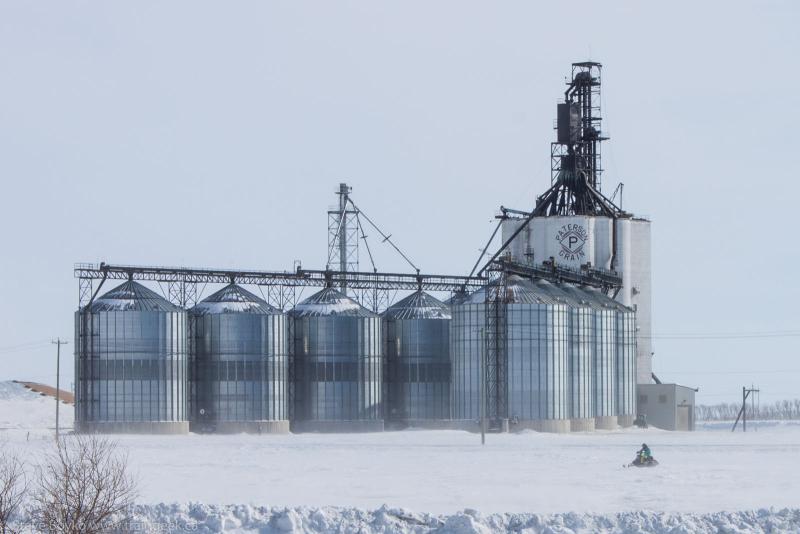
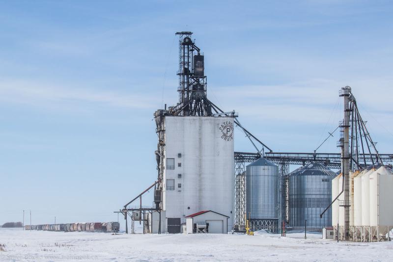
The new Paterson elevator is interesting in that it is served by both CN and CP. I'll show the interesting trackwork in Morris shortly.
The other elevator company in Morris is Cargill. Their old and new elevators are adjacent to each other.
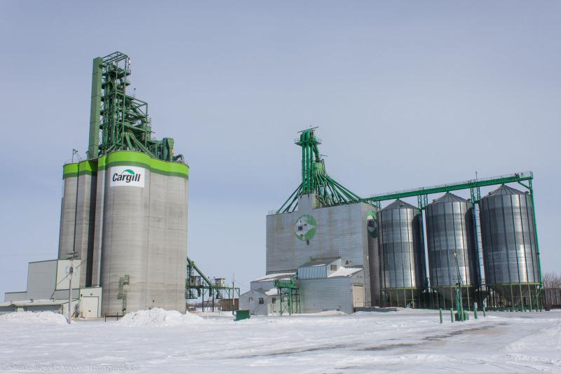
Cargill recently announced that they are going to expand this facility, from 10,000 tonnes of storage and 54 rail car spots to 30,000 tonnes and 100 spots. Exciting news for Morris!
Now, I promised I would talk about the track layout in Morris. Here is a map I drew to show how the track connects.
CN=black, CP=red. I hope this shows how both CN and CP can serve both Paterson and Cargill. Note that the CN Miami subdivision is just a stub and extends just far enough so CN can use it to shunt Cargill.
One interesting thing I saw on the CN Miami subdivision is an honest-to-god semaphore.
This might be the only "operational" semaphore in Manitoba.
The next elevator is the one in St. Jean Baptiste.
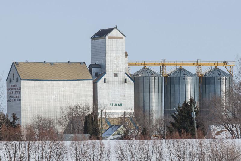
The writing on the end says "ASSOCIATION CO-OPERATIVE D'ELEVATEUR ST. JEAN BAPTISTE SUCCURSALE No. 213 SERVICE AU PRIX COUTANT"
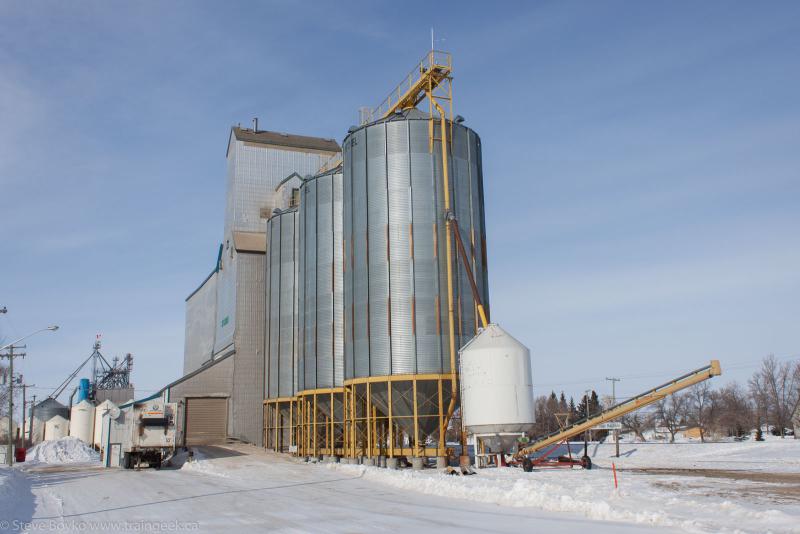
St. Jean Baptiste has a lovely, large church.
The final elevator on the CN Letellier subdivision is the Pioneer high-throughput elevator labeled "Red River South". It is located just north of the town of Letellier, which had a Pool elevator until its destruction in November 2006.
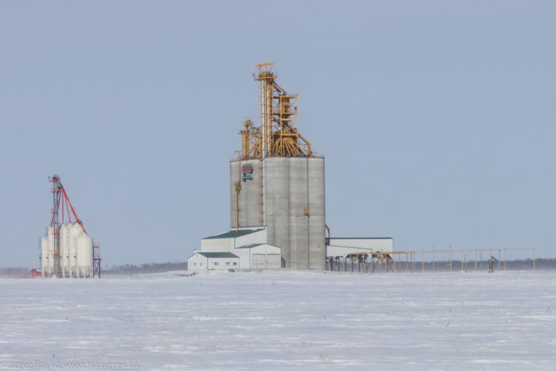
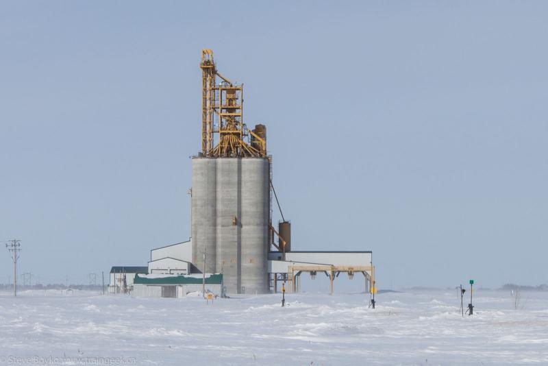
So ends our tour... I hope you enjoyed it, and expect to see a lot more grain elevators here this summer.


11 comments:
Not sure if you have photographed the old elevator at Sanford Manitoba, along the CEMR rail line? It's in a bad state of repair, with a huge hole in the east side wall. This winter they were emptying some grain out of there. Town rumours are that it is to be torn down in the very near future. Get some pics soon.
Cheers,
Glen
Sanford , Manitoba
Hi Glen, I have photographed Sanford but not in a couple of years. I'll have to get out there this weekend and capture it once more. Thanks for the tip!
I'll keep my "ear to the wall", so to speak. If I hear of a specific time frame for demolition, I will give you some heads up, in the event you want to capture some live demo occurring.
Glen
Steve, for your elevators, you missed St. Agathe!!!
Also that semaphore on the Miami Spur means absolutely nothing to us train crews. It serves no purpose at all.
49.563246,-97.215492
49.570483,-97.19897
There's a grain elevator in that complex? I've looked at it (from the highway) but never saw anything that looked like an elevator. I'll have to see if I can drive a bit closer (without trespassing, of course).
I suppose it's not an elevator per se but it's still a facility. Most of their product is oil but they do take in dry product. That dry product has to be stored somewhere!
I have never seen it up close, just from the tracks.
Nice post including trackage map, Steve. While many of us have a sentimental spot for the wooden elevators, these new behemoths are starting to grow on me.
One can also see how the elevator companies prefer them for their productivity and the railways for their large car spots.
Good luck on your trek!
Eric
GP9Rm4108, good to know, I assumed it was ignored. There's a semaphore on the CP La Riviere just north of town too.
Eric, those concrete elevators are neat in an admiration-of-efficiency way.
To see the semaphore in street view, type in either of these in google maps, then go to street view:
49.353557,-97.379789
49.354713,-97.381869
Post a Comment