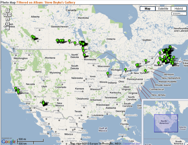
I use the open-source Gallery program to manage my photos. I like it a lot. It is very flexible, easy to use and most importantly free.
One cool feature of Gallery is the ability to attach GPS coordinates to your photos, and then view them on a map. You do this by going to my gallery, and maybe going into a section like NBEC Photos or deeper, then clicking on the "View Album on a Map" link on the left side. You can also view an album in Google Earth.
It uses Google Map technology, so you can pan around, zoom in, etc. Clicking on the green marker shows a thumbnail of the photo, and you can then click on that to go to the full photo view.
I've been going back and adding locations to my photos. There are a lot left to be done, but I'll keep picking away at it. All new photos I put in have GPS coordinates built in, thankfully.
I hope you like this feature! See where I've taken pictures.
No comments:
Post a Comment